AlphaEarth Foundations Maps Forest Types From Space
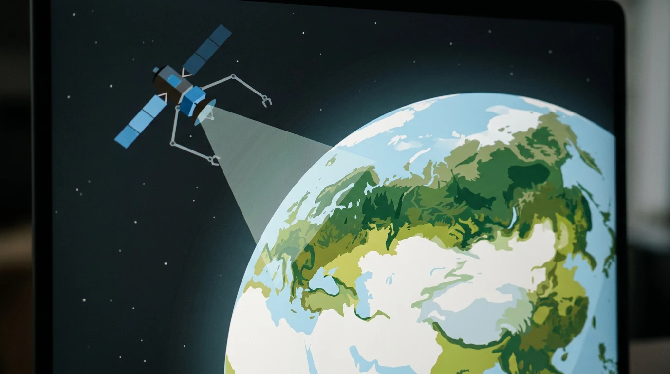
Google DeepMind’s AlphaEarth Foundations aims to map forest ecosystems worldwide, distinguishing forest types rather than simply recording tree cover.
👁 115 reads
In July 2025, Google DeepMind announced AlphaEarth Foundations, a system that, for the first time, makes it possible to map forest types across the planet with a level of detail no previous satellite remote-sensing tool could achieve. This is not just another map showing where trees grow. It is a technology that can distinguish, from orbit, what kind of forest is there.
Why mapping trees is not the same as mapping forests
For decades, global Earth-observation systems did one thing: measure tree cover. Satellites could identify with considerable accuracy where trees were present on the planet and where they were not. But automatically telling whether an area is tropical rainforest, boreal taiga, dry deciduous forest or a monoculture plantation remained beyond the reach of analysis from space. That distinction matters to an ecosystem’s value: its biodiversity, its ability to absorb carbon, its resilience to climate change and its importance to local communities.
AlphaEarth Foundations, described on the official Google DeepMind blog, addresses this fundamental limitation. The system goes “beyond tree cover” to classify forest ecosystem types around the world. That is a qualitative leap beyond what programmes such as Global Forest Watch or data from the European Space Agency’s Copernicus missions have offered so far.
How AlphaEarth Foundations works
The model is built on a foundation DeepMind developed as part of the wider AlphaEarth initiative, a set of AI systems for detailed modelling of Earth’s surface. “Foundations” is no accident: this is a foundation model that can be fine-tuned for specific remote-sensing tasks, much as large language models can be adapted to particular business applications.
For forest mapping, the system was trained on satellite data spanning different parts of the electromagnetic spectrum, combined with reference data collected on the ground. The key is that the model does more than identify vegetation. It extracts subtle spectral, textural and phenological signals from satellite images - including information about how an area changes over seasonal cycles. Those patterns can help distinguish, for example, Amazonian rainforest from secondary forest growing on previously cleared land, even though the two areas may look similar in an ordinary image.
DeepMind emphasises the system’s unprecedented scale: it operates globally and is not calibrated for a single continent or biome. The same model weights that work with the forests of the Congo Basin can also be used for Siberian taiga or the forest-steppe of Central Europe.
Why forest maps matter for climate policy
The implications extend well beyond academic cartography. Accurate maps of forest types are important inputs for climate models. The IPCC has long pointed to uncertainty in estimates of CO₂ absorption by different forest ecosystems as a major source of error in projections of warming. Tropical and boreal forests absorb carbon in very different ways and at very different rates, while existing maps have often grouped them together as “forest cover.”
The technology could also be useful for EU environmental policy, including the EU Deforestation Regulation (EUDR), which requires importers to verify that goods do not come from land deforested after 2020. More accurate global information on what is happening to forests could help with supply-chain checks under these rules.
The same logic applies to the carbon-credit market. Emissions trading based on forest cover, worth tens of billions of dollars a year, has long struggled with a lack of reliable verification data. REDD+ projects (Reducing Emissions from Deforestation and Forest Degradation) require an accurate assessment of which forest was protected and how important it is for carbon sequestration. AlphaEarth Foundations could provide this kind of data in a scalable and repeatable way.
Google · Your sourcesQuantslant higher in your Google - one clickAdd to preferred sources →AlphaEarth as a platform, not just a product
DeepMind’s strategy for the project is worth noting. The blog post carries the “Science” tag and invites readers to “Learn more” - language that suggests full technical documentation and possibly code or model weights may be made available to the research community. That would distinguish AlphaEarth from purely commercial remote-sensing products that sell maps as a service without sharing their methodology.
DeepMind presents AlphaEarth Foundations as a foundation model for Earth observation that other researchers and institutions can fine-tune for their own needs. If that approach takes hold, the technology could reach national forestry services, environmental agencies and non-governmental organisations monitoring deforestation, without requiring them to build their own machine-learning infrastructure from scratch.
The comparison with GPT-4 as a foundation for hundreds of applications is deliberate. DeepMind appears to be aiming for a similar position in Earth observation: providing a model that is general and powerful enough to support an entire ecosystem of environmental applications.
If AlphaEarth becomes a standard for global forest-ecosystem observation, questions about who manages the data and how will carry political weight as well as environmental significance.

More on this from QUANTSLANT



 benchmarks·Relational Model Training: 305 Seconds on One GPUA NeurIPS 2026 workshop paper proposes a speedrun-style leaderboard for relational foundation model training, with a 305.63-second result on one NVIDIA H200.