Google Earth AI Generator: 24 Hours That Cost Two Decades
Google added an AI generator to Earth for 24 hours. We calculated what it cost in trust, and how the economics of verification just broke.
👁 119 reads
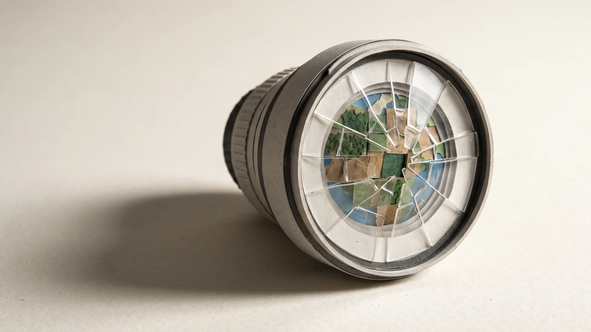
On July 30, Google added a feature to Google Earth that let you type a prompt at real coordinates and get a photorealistic scene pasted into an authentic satellite image. Within hours, users had generated a nuclear power plant in Iran, a bomb crater at a hospital in Gaza, and water flooding the Capitol. After roughly 24 hours, the feature disappeared, and the company promised a return with stronger safeguards. Mahsa Alimardani described it in Rest of World, and her piece is the starting point for the numbers we break down below.
The calculation that interests us isn’t about how quickly Google reacted. It’s about what exactly was consumed during those twenty-four hours, and whether it can be bought back.
Two Decades of Building vs. One Day of Breaking
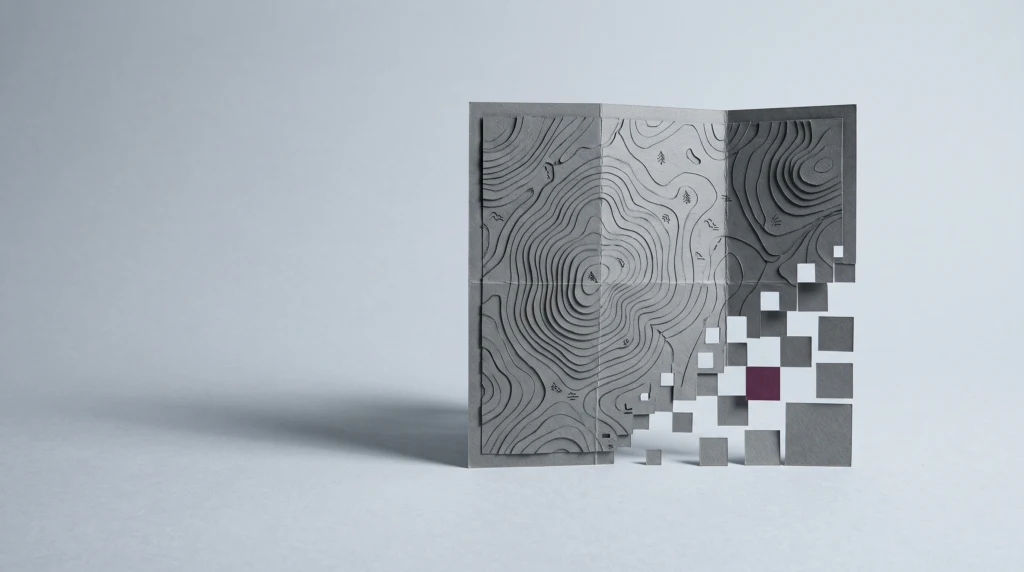
Google Earth has been running since 2005. Until July 30, 2026, that’s about 21 years, or roughly 184,000 hours of market presence as a tool that functioned in the investigative community as the closest equivalent to ground truth. We calculated the ratio: one day with the generator is one 7,660th of the product’s history. That was enough for every image from this platform to now require double verification - once for content, once for whether someone added a prompt to it.
The asymmetry here is brutal and easy to show with numbers. Building the reputation of a reference layer took over two decades and required maintaining an archive of historical imagery that underpins OSINT training on Syria, Yemen, and Sudan. Undermining that reputation took less time than an average image verification course, which in practice runs two or three workshop days. In other words: the feature lived shorter than the course that teaches you not to trust it.
It’s worth adding a second number, because it matters more to investigators. A fake generated during that day doesn’t stop existing when the tool is withdrawn. A graphic file once released into circulation stays there for years. Google regained control of the feature after one day, but it didn’t regain control of a single image that was created during that day.
We Compared Response Times and Found a Surprising Order
Rest of World recalls two other cases. OpenAI shut down the Sora video app in March 2026, after months of pressure and a wave of abuse - offensive materials featuring women and problematic reconstructions of historical figures. Veo 3, Google’s video generator, launched in May 2025 and wasn’t withdrawn at all, even though within days of the first strikes in the region, materials circulated showing a rocket barrage over Tel Aviv with the Veo watermark still visible. Later, users learned to crop it out.
Comparing these three stories yields something uncomfortable for intuition. The more specialized and the closer to factual reporting the tool was, the faster it fell. The more mass-market and the longer it operated, the less pressure there was.
| Product | Launch | Response | Lifespan |
| Google Earth generator | 07.30.2026 | withdrawn | approx. 24 hours |
| Sora (app) | 2025 | closed 03.2026 | several months |
| Veo 3 | 05.2025 | no withdrawal | over 16 months |
Converting to days is striking: 1 day versus about 150 days versus over 480 days. Google Earth was pulled over 480 times faster than Veo 3, with the same owner. The difference wasn’t made by the scale of harm, because Veo 3 produced more of it. The difference was made by who was shouting. In the case of Google Earth, it was people who professionally verify conflicts and have direct media access.
Supply of Truth Fell While Supply of Fakes Rose
The most underappreciated part of this story is the sentence about the US government ordering satellite companies to restrict journalists’ access to regional imagery, citing wartime security. This means that in the same week the cost of producing a convincing fake satellite image dropped to practically zero, the cost of obtaining a real one increased.
We calculated what it actually costs to verify one point on the map from a commercial archive. Standard rates in the sub-meter resolution imagery market are in the range of $15-25 per square kilometer for archive purchases, with a typical minimum order of 25 square kilometers. At the lower rate, that works out to about $375 for one archival image of the minimum area, and at the upper rate about $625. Custom imagery, with a new flyover, can be twice as expensive. Add a second image if you want to compare before-and-after states, so realistically $750 to $1,250 per verified object.
Generating a fake in Google Earth cost zero dollars and a few seconds. The cost ratio between defense and attack in this specific domain is therefore well over a thousand to one in favor of the attacker. For a regional newsroom or NGO, $375 for one image is a budget decision, not a reflex. For someone producing disinformation, the only cost is the time to type a prompt.
Why Watermarks Aren’t the Answer - One Case Shows It
Rest of World describes a case that closes the discussion on content labeling. When a fabricated video of an explosion at Evin prison in Tehran appeared online - within minutes of the actual strike - it bore no watermark. The material was picked up by Sky News and BBC, among others.
No benefit of integrating generative AI with Google Earth is worth the harm and doubt this creates.
Mahsa Alimardani, Rest of World, September 10, 2026
The watermark mechanism has a flaw that only becomes visible with such an event. Watermarks only work on products that carry them. If a fake came from an unmarked model or the mark was cropped out, the absence of a watermark is not proof of authenticity - yet the recipient learns exactly the opposite habit. They learn that no marking means truth. Content labeling systems, being introduced in the EU under the AI Act, are building this reflex at continental scale, and no one has calculated what it will cost to rebuild it in the other direction.
Google · Your sourcesQuantslant higher in your Google - one clickAdd to preferred sources →What This Means for Verification and Analysis
Institutions use Google Earth and Google Maps as an auxiliary layer - for quick terrain checks, matching footage frames to topography, confirming that a building in a video stands where someone claims. This practice is common in newsrooms and among OSINT volunteers who since 2022 have been verifying materials from Ukraine and the border region. For them, the change is immediate and concrete: Google’s reference layer stops being a point of reference and becomes material to be checked.
The practical instruction is simple and should be applied from today. For any verification where satellite imagery has evidentiary significance, you need two independent imaging sources from different operators, and you must cite the flyover date in publication, not the download date. Free Sentinel-2 imagery from the Copernicus program has 10-meter-per-pixel resolution, sufficient to confirm fire, flooding, or a large crater, and is available at no cost - that’s the first reflex before anyone spends $375 on a commercial archive. You also need to save archival basemaps locally, because the layer you see in a browser today may be different in a year.
Platform liability for publishing a fake satellite image is dispersed and weak in most legal systems. The EU Digital Services Act provides a reporting tool and requires systemic risk assessment for very large platforms, but the effect is reactive - first the image circulates, then the procedure runs. The pattern described by Rest of World - a new fabrication method launches overnight, critical storm follows, safeguards after damage - isn’t an accident. It’s the default operating mode, and none of the regulations in force reverse it.
What was truly consumed during those twenty-four hours isn’t any specific image or one company’s reputation. What was consumed was the assumption that for two decades allowed investigations to proceed quickly: that an image from orbit is independent of the intentions of whoever shows it. Rebuilding that assumption has no price expressed in dollars per square kilometer, so it won’t appear in any balance sheet.
Facts verified September 27, 2026. Sources: Rest of World, “Google Earth’s AI experiment lasted 24 hours”, Mahsa Alimardani, September 10, 2026; Copernicus Data Space Ecosystem - Sentinel-2 imagery parameters; Digital Services Act (DSA) regulation. Commercial imagery rates given as market ranges for archival imagery.
More on this from QUANTSLANT

 benchmarks·AI Image Generator Ranking: 8 Models Tested Side-by-SideWe tested 8 paid AI image generators with identical prompts: scores 0-10, costs from $0.03 to $0.13 per image, speed tests, and non-English text rendering.